Advanced Drone Data Processing & Analysis
Aeroglide Technologies transforms aerial data into actionable insights for agriculture, construction, and environmental monitoring across Uganda.

Aeroglide Technologies transforms aerial data into actionable insights for agriculture, construction, and environmental monitoring across Uganda.

Aeroglide provides end-to-end solutions for drone data acquisition, processing, and analysis across multiple industries.

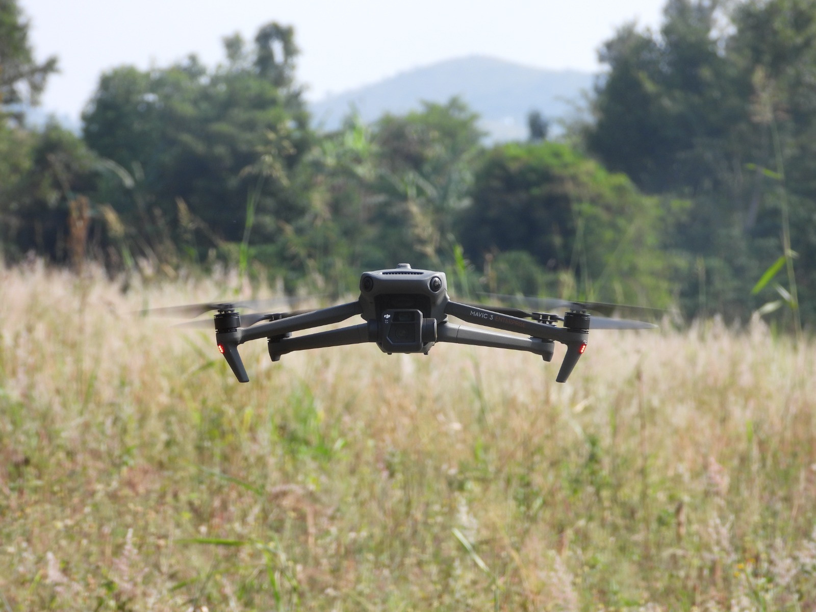
High-resolution imagery and sensor data acquisition using advanced drone technology.

Advanced algorithms to process raw data into meaningful information and visualizations.

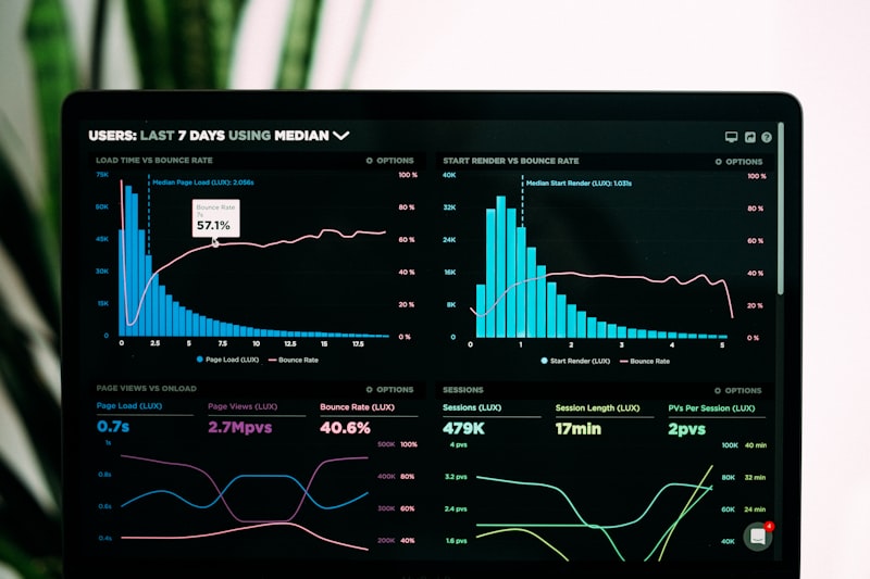
Turn processed data into actionable insights for your business decisions.

Custom software development solutions tailored to your specific business needs.

Source or rent the right drone equipment for your specific project requirements.

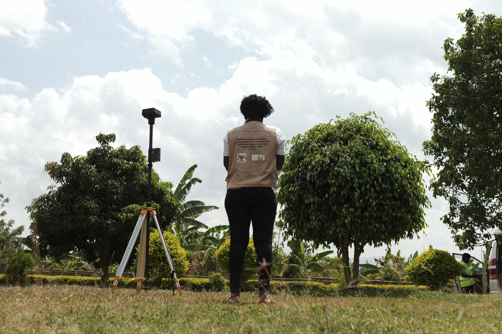
Comprehensive geospatial analysis and mapping solutions for informed decision-making.
Aeroglide's tailored drone solutions for specific industry needs and challenges in Uganda.
Crop health monitoring, yield prediction, irrigation management, and precision farming solutions.
Site surveying, progress monitoring, volume measurements, and infrastructure inspection.
From data collection to actionable insights, Aeroglide's workflow ensures accuracy and efficiency.
We use advanced drones equipped with high-resolution cameras and sensors to capture precise aerial data.
Our proprietary algorithms process raw data into accurate orthomosaics, 3D models, and point clouds.
We transform processed data into actionable insights with detailed reports and visualizations.
Uganda's leading provider of drone technology solutions since 2023.

At Aeroglide Technologies, we're committed to providing cutting-edge drone solutions that empower businesses across Uganda to make data-driven decisions and optimize their operations.